
-
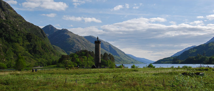
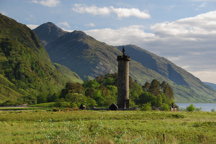
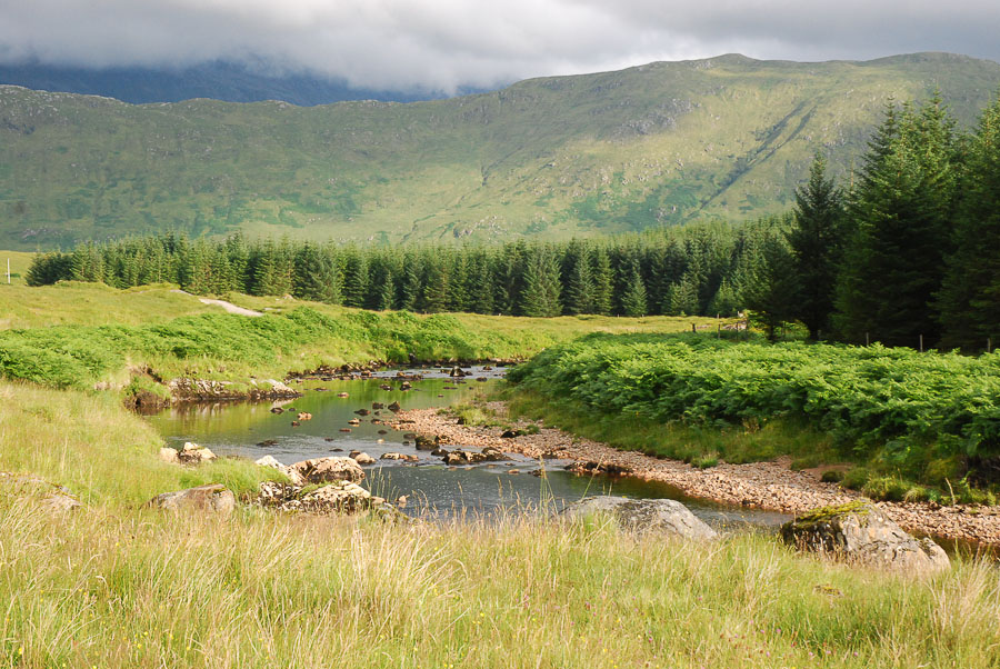
Glenfinnan, Lochaber
-

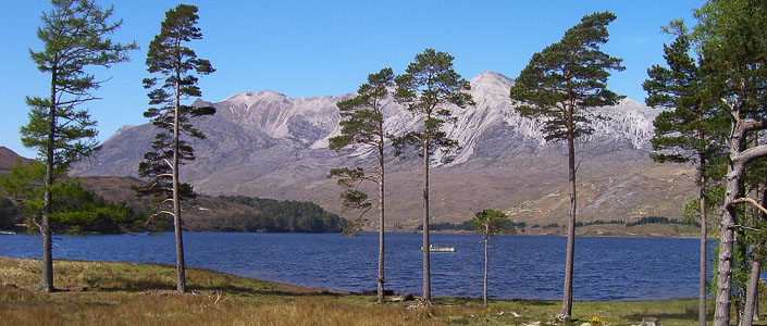
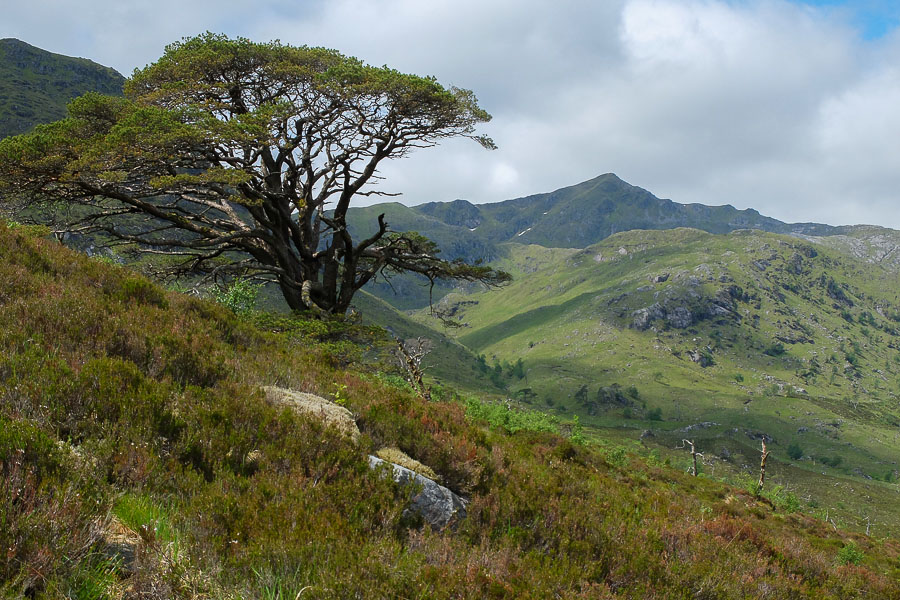
Glen Elchaig, Lochalsh
-
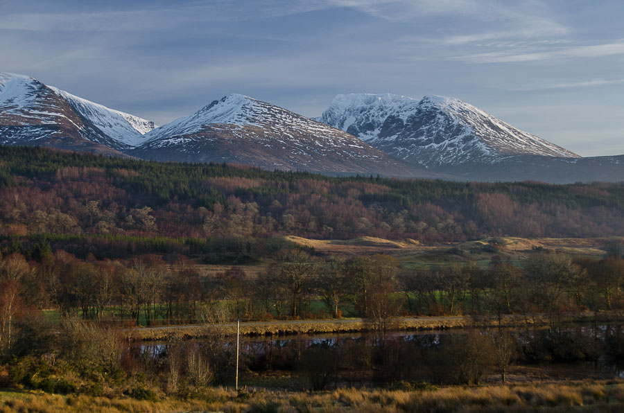
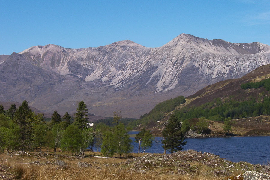
Beinn Eighe, Torridon, Wester Ross
-
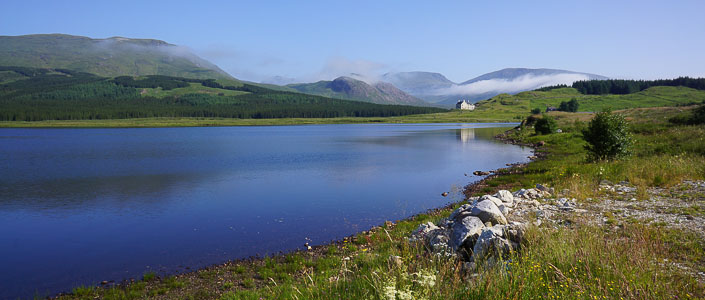
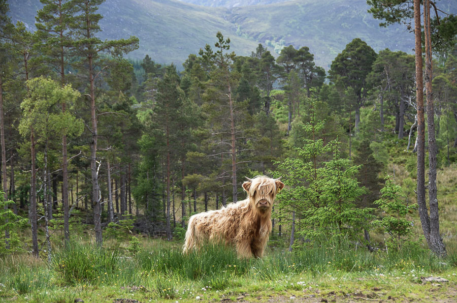
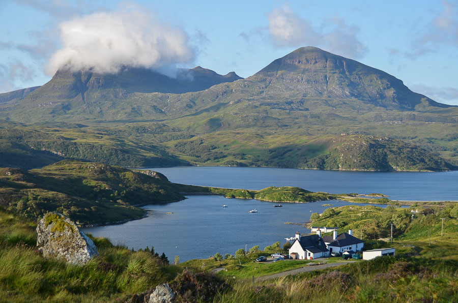
Benmore Lodge
-
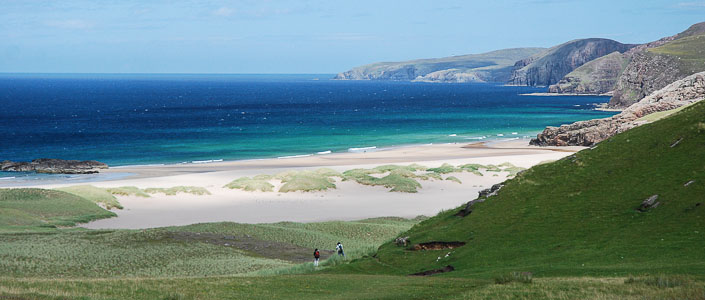
Approaching Sandwood Bay, Sutherland
The Cape Wrath Trail
The Cape Wrath Trail is an unofficial, unmarked and magnificently wild long distance route from Fort William to Cape Wrath, the most north westerly point of mainland Scotland. A superb and challenging route for experienced long-distance backpackers, the Trail passes through some of Scotland's most spectacular landscapes.
About the Trail
There is no officially-sanctioned route for the Trail and one its joys is that every walker can plan the exact route for him or her self. We give two routes for the first part of the trail. The original idea for the trail was by David Paterson who published a photographic book in 1996; since then there have been a number of different routes suggested by a variety of authors and other walkers.
The Glenfinnan option
This route begins by using the passenger ferry to cross Loch Linnhe from Fort William, with the first walking leading perversely southwards before heading up the Cona Glen. A pass leads down to the dramatic monument at Glenfinnan. From here the route heads through the fringes of the Rough Bounds of Knoydart, giving some of the most rugged and challenging going on the whole trail. There are a good number of bothies available on the route, which continues to Barrisdale Bay and then to Kinloch Hhuorn. A final climb beneath the Saddle leads to Morvich in Kintail.
The Great Glen option
A gentler start is provided by following the Great Glen Way from Fort William. This is then left for the hike up Glen Garry, followed with a couple of passes leading via lovely Glen Loyne to the Cluanie Inn. A dramatic walk down Gleann Lichd then meets the Glenfinnan variant at Morvich in Kintail.
The combined onward route
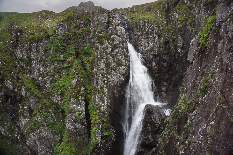
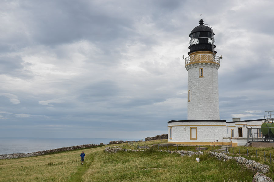
From Morvich the route climbs past the spectacular Falls of Glomach before beginning a lonely crossing of Monar. After crossing Strath Carron, it follows an old pass at the fringes of dramatic Torridon to reach Kinlochewe. A crossing of the Letterewe Forest - evocatively dubbed the Great Wilderness - leads to Shenavall and then Loch Broom. The route then crosses north of the Seana Bhraigh massif to reach Glen Oykel, and the edge of Assynt. The route traverses round above dramatic sea lochs before crossing the moors in the shadow of the great isolated peaks of Sutherland. A final stretch takes to the coastline, visiting the incomparable Sandwood Bay before the final push to the lighthouse at the Cape.
The Landscape
Every stage on Walkhighlands is fully illustrated with photographs, but the following gallery should help give you a flavour of the wonderful landscapes and terrain to be discovered by walking the trail.


The Challenge
The Cape Wrath Trail is a completely unmarked route, and it runs through very wild and rugged terrain for much of the distance. The walking bears little resemblence to prepared, waymarked trails such as the West Highland Way. Most of those walking it carry a tent, although it may be possible to complete the route staying in a mix of bothies, bed and breakfasts and hotels with careful advance planning. Even then, a sleeping bag, mat, stove and food supplies would need to be carried for the bothy stays.
Although some sections follow paths and tracks, there are also many parts of the route which are pathless; walkers attempting the trail shoud have a high degree of navigational skill, and always carry a map and compass. There are also several unbridged river crossings which can become dangerous or even impossible in spate conditions. Altogether the route is usually regarded as the greatest backpacking challenge in the UK.
From Morvich the trail shares the route with the Scottish National Trail which runs from Kirk Yetholm in the Borders.
The Guide
The Walkhighlands Guide
Walker's website Walkhighlands has produced a series of detailed stage descriptions covering the whole route - written by on-the-ground researchers who have walked every step of the way to check it for you. Each stage is illustrated by a series of photographs and with Ordnance Survey mapping, as well as offering downloads in GPX format for use in GPS devices.
Access the detailed Cape Wrath Trail guide.
Buy the Cicerone Guidebook
Iain Harper is the author of the latest printed guidebook to the Trail, published by Cicerone. This publication is not connected to Walkhighlands.